Wednesday, December 23, 2020

Fort Myers Beach And Passage To Marathon.

After transiting the Okeechobee Waterway, we stopped in Fort Myers Beach (16-18 Dec) and stayed at the Matanzas Pass Mooring Field. Sharon expertly grabbed our mooring ball, lucky 13. After we finished our post-cruise 'chores', we dropped the dinghy and headed over to see our friends, Tony and Michelle, on Patricia Marie. We met Tony and Michelle at a Thanksgiving potluck dinner in St. Augustine last year and have been good friends ever since.

We spent a couple of hours in their cockpit, drinking margaritas and catching up. We made some tentative plans for the following day and Sharon and I took off to get some dinner. We tied up to a dinghy dock and went next door to Nervous Nellie's for dinner. We ate outside and dinner and the service was excellent.

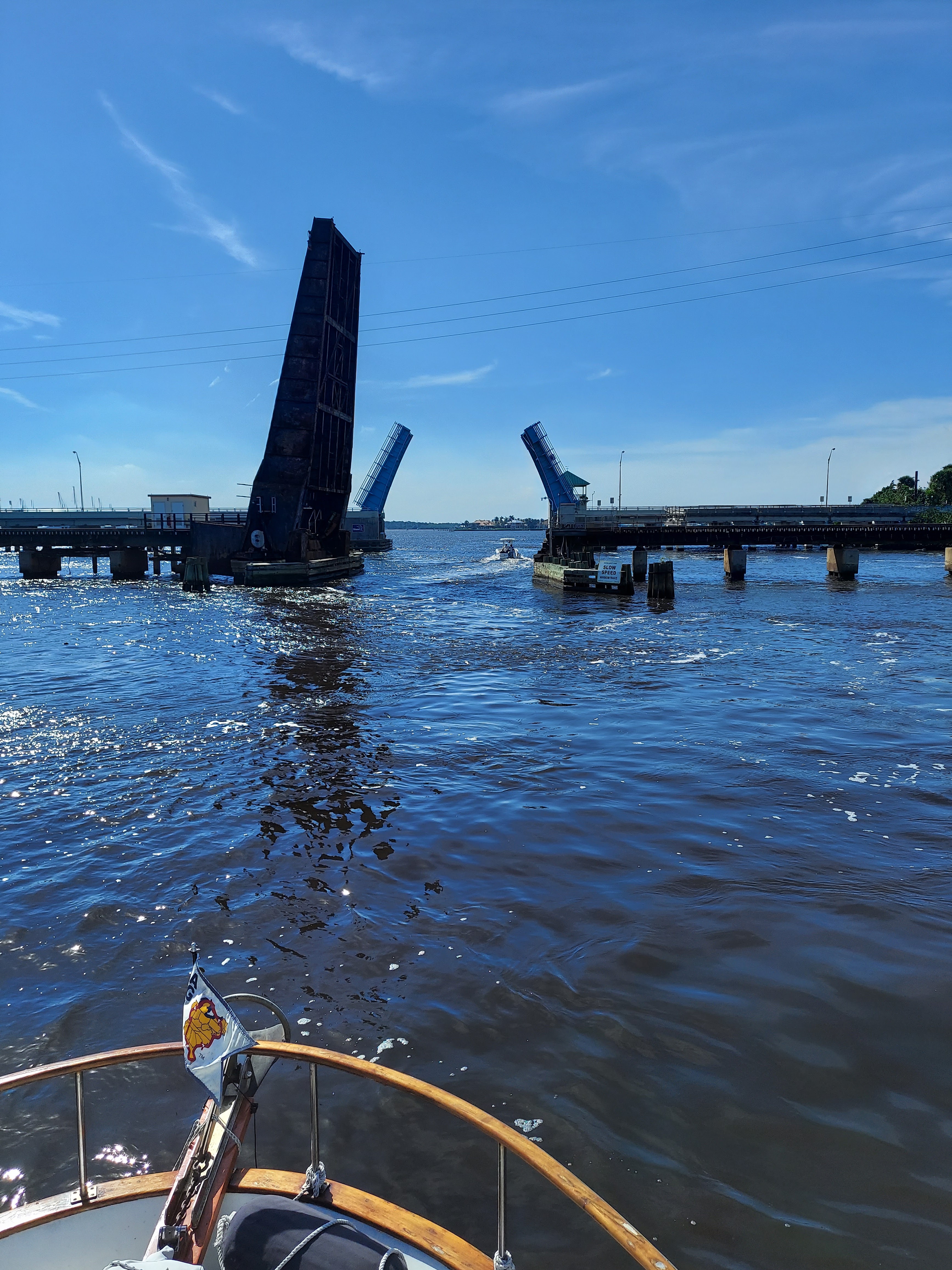
Dinghy ride around the harbor

Low bridge at the dinghy dock -- except for Sharon

The next day we connected with Tony and Michelle around 1130. They were doing laundry and taking turns showering. Michelle put the clean clothes in their dinghy and we hit the town. We spent much of the afternoon walking the beach. The sand is so soft and white!!! We did a little bar hopping including the rooftop restaurant at Lani Kai's and had lunch at The Doghouse. Fort Myers Beach is our kind of town!

View from Lani Kai Rooftop Restaurant

There was another couple, Jim and Missy, on a trawler on a mooring ball right next to us. They are friends with Tony and Michelle and another couple, Derek and Dianne (we met them earlier this year), who had arrived in the mooring field late Thursday afternoon. All four of the guys are retired Navy and we spent the evening hanging out on On Course, Jim and Missy's boat.

Friday morning we were summoned to Patricia Marie for bloody Mary's. It was only in the upper 60s and a little chilly for us Floridians. After an hour or so, we drove our dinghies to the dinghy dock and walked around town before meeting the other two couples for drinks and then back to Nervous Nellie's for dinner. It was a fun two days and nice to take a break from cruising.

Dinner at Nervous Nellie's

Sharon and Michelle are like two peas-in-a-pod

Saturday morning we were up at 0530 and underway in the pitch dark by 0600. Sharon was a big help with additional 'night vision' eyes. All was fine until a fishing boat with about a 10 million candle power headlight came up on us. So much for our night vision! Fortunately he passed us (slowly) as we exited the tight channel.

We had a beautiful sunrise but the farther offshore we got, the waves increased and conditions became uncomfortable. Sooo... I turned us toward the shore for better protection. Luckily that worked and we had a much calmer trip to Marco Island. Once we passed Marco Island and the high rises disappeared below the horizon, there was no land in sight for hours. I love being the only boat with no land in sight!! We were about 13 miles offshore. We were determined to make it to Little Shark River to anchor for the night in protected waters. The lower western coast of Florida offers little in the way of anchorages beyond Marco Island plus the water is really shallow along the coast. We had the current the entire trip (very unusual) and decided to go just four miles farther south and anchor off Cape Sable (Everglades) -- pretty much the southwestern most point of Florida. We got there 10 minutes before sunset. It was a long passage (which is why we got such an early start) and our longest ever on our boat but we were determined to take advantage of a good two-day weather window.

Marco Island
We were about 13 miles offshore at our farthest point from the coast.

It was a very exposed anchorage, a little 'rolly' and unfortunately, we didn't get a good sunset. There is a beautiful white sand beach a short dinghy ride away with some people camping. It was too late in the day to dinghy over -- maybe next year on our return trip north.

The following morning we semi took our time getting underway since we were going to Marathon and it was only a four hour trip. I went to start the engine and I heard the starter momentarily engage and then nothing. Oh crap. That never happened before! So I tried starting the engine again. Same thing. Tried a third time. Same thing. The night before we were able to get cell service with a phone on the fly bridge. Sunday morning, there was zero cell service. Nothing beats being stuck in the middle of nowhere with no cell service. I checked the starting battery and it was fully charged. I tried two more times and finally, varoom!, the engine started. Whew.

Naturally, I could not recreate the problem when we were safely in a slip. My suspicion is the automatic magnetic switch (fancy name for solenoid) is starting to go. Just to play things safe, we'll probably replace the starter, AMS and starting battery (six years old -- didn't I just replace that!?!) once we are in Stock Island for two-three months. The starter and AMS will go into spare parts storage.

Other than dodging lobster/stone crab traps the entire trip, it was nice and uneventful to Marathon. I swear those floats are magnetic to our boat! We are now at Marathon Marina where we stayed for a week in January this year. It's a nice marina and we like it here. The boaters on either side of us grabbed lines and helped us tie up and get settled in. "Patty" even brought us over a plate of cookies. 

View from our slip. It just doesn't get any better.

Cruisers helping cruisers. Patty's homemade chocolate chip cookies!

So after a month of almost solid 'delivery speed' cruising, we are finally in the Keys where we will chill and enjoy the winter. It feels nice to relax, lay by the pool and listen to the breeze blowing through the palm trees. After Christmas we will run to Stock Island (Key West North) where we will be staying for the next two-three months. We have been blessed with seeing family and friends along the way, minor problems and overall good weather.

Friday, December 18, 2020

Okeechobee Waterway

What to do, what to do?  Keeping heading south through Fort Lauderdale or cut across Florida on the Okeechobee Waterway and head west to the Gulf of Mexico.  We decided we would cross Lake Okeechobee and head to Fort Myers Beach. Instead of going straight down the ICW, we turned right from the St. Lucie River Inlet into the St. Lucie River. Our travels took us pass Stuart, FL. From what I could see, it would be a nice place to explore.  

We passed a tug pushing a barge.

The Okeechobee Waterway extends to the Gulf of Mexico using the Caloosahatchee River and into the Atlantic Ocean using the St. Lucie Canal.  The Waterway covers 152 miles and serves as both a commercial and recreational link with several overnight-docking facilities. 

The first bridge we needed to request an opening for was the Old Roosevelt Bridge. It is located right past the Britt Point Railway Bridge.  The railway bridge is open unless a train is coming. The Old Roosevelt Bridge is also called the St. Lucie River Bridge. The bridge at one point was one of two parallel drawbridges.  The first drawbridge was opened in 1934. The current bridge was opened in 1964 and was used for southbound traffic.  When the New Roosevelt Bridge (65 ft) was built, the northbound span built in 1934 was torn down. The bridge tender was very friendly. 

Railway Bridge open and the
Old Roosevelt in the closed position

All spans open


Span up on railway bridge
Other side of railway bridge


We entered the St. Lucie Canal where our journey took us under the I 95 Twin Bridges and the Florida Turnpike, among other bridges and we did not encounter any boat traffic. We had travelled 13.5  miles on the Okeechobee Waterway at the I95 and 14.5 at the turnpike.


Now the fun part -- we arrived at the St. Lucie Lock and Dam.  The lock was built in 1941 for navigation and flood control.  The connecting spillway was constructed in 1944 to control the flow through the canal to manage the water levels of Lake Okeechobee.  Approximately 91% of the traffic locking through are recreational vessels.  The lock is 50 feet wide x 250 feet long x 10 feet deep at low water. 

You are required to stop at the sign marked "Arrival Point" and wait for instructions. The lock master informs you on which side you will tie up so fenders can be placed on the side of the boat.  There is a red and green signal at the entrance and you proceed when it is green.  This lock required life jackets and engine to be turned off (once we had lines).  We were the only boat in the lock.  Once inside lines are hanging against the wall and the lock master assisted us with getting the lines.  The lines are all wet and slimy from hanging in the water (gross).  

Waiting at the "Arrival Point"

Only boat in lock, waiting to rise

Lines hanging in the water

The lock master told me this was a first as he never had anyone from Chesapeake Beach and he did not know where the Beach was located.  He knew all about Havre De Grace and the Cecil County area.  

We were raised up about 14 feet. They open the gates on the opposite side from where we entered. I wasn't prepared for the water 🌊  to come gushing in and took me by surprise.  It was really cool watching the water enter and us rising up.  Once the water reaches the correct depth the gates are completely opened and you start the engine, drop the lines and continue through when the okay is given.

Water gushing in

KaWhy Knot leaving the lock

Moving forward, still in the St. Lucie Canal we arrive at the Indiantown Railway Bridge.  The bridge is a swing bridge and normally is in the open position unless a train 🚂 is coming. The bridge has a clearance of 7 feet so no going under.  Of course, the bridge is closed, Rob hails the bridge and receives no response, calls the number listed and it's a fax machine, hails again and receives a response, "About 10 to 15 minutes Captain, a train is coming."  We were so close to our Marina for the evening!

Bridge closed with train crossing

KaWhy Knot passing the swing bridge

We spent the evening at the Indiantown Marina. Due to being held up by the train 🚂, the office was closed upon our arrival.  Directions given were turn right into the Marina and then left at the fuel dock and choose any open slip. We are safely in our slip!  The Marina has a huge live-aboard community, most people were friendly.  One old curmudgeon complained about transients.  The staff was extremely pleasant, we were told we could call the next day while underway to pay for the evening.  We would stay here again.
Vero to Indiantown Marina

On Tuesday, December 15th, we left the Indiantown Marina during heavy fog.  We are still in the St. Lucie Canal, we passed under the Port Mayaca Railroad Bridge.  This bridge is a lift bridge and was up when we arrived. It has a clearance of 56 ft.  Most sailboats cannot  travel the Okeechobee Waterway because of this bridge.

Ka'Why  Knot leaving Indiantown Marina 

The birds were asleep 😴! 

Port Mayaca Railway Bridge

Our first lock of the day is the Port Mayaca Lock. This lock is located on the east side of Lake Okeechobee.  The lock was built in 1977 to help raise water levels in the lake for agricultural use, city water supply, and for navigation purposes.  Approximately 9,500 vessels pass through this lock annually. 96% are recreational vehicles.  The lock is 56 feet wide x 400 feet long x 14 feet deep. This lock leads directly into Lake Okeechobee.

Each lock has the same requirement: wait at the "Arrival Point" for instructions, proceed on a green light, stop engine and wear a life jacket.  


Another trawler left Indiantown Marina right before us and we were going through the lock at the same time.  The other boat tied up port side and we tied up starboard.  This time there was no gush of water we were only going up 2 feet.  


When we entered Lake Okeechobee and the fog was still really heavy.  We could barely see the trawler in front of us.  The fog stayed with us for the entire trip across the lake.  I'm sure the lake is beautiful and it is the largest freshwater lake in the state of Florida.  


The next lock was the Clewiston Lock. We did not have to go through this lock unless we wanted to go to Roland Martin Marina. A lot of boaters make this one of their stops.  


Moving on we arrived at Moore Haven Lock. This lock is located on the west side of Lake Okeechobee.  This lock was built in 1935 for navigation and flood control.  Approximately 9,200 vessels pass through this lock annually, 96% are recreational vehicles.  This lock is 50 feet wide x 250 feet long x 10 feet deep.  This lock leads into the Caloosahatchee Canal. 

"Arrival Point" Moore Haven Lock

At this point there are 3 other boat, besides us waiting to enter the lock.  Two boats were tying up port side and 2 were tying up starboard side.  The first power boat went in and then it was our turn.  Rob pulls in and I tried several times to grab the line. Of course, I completely missed it and Rob is already down below to grab the stern line.  Since I do not have the bow line, the boat is swinging out to the center of the lock.  Rob has to go back up and try to get the boat back over, which he does and we grab our lines. I'm already beating myself up for not being able to grab the line and Rob is not very happy, he said that was a disaster.  It was not graceful or pretty, but it definitely was not a disaster.


The other 2 boats proceed in and tie up on the port side. This lock did not require us to turn off the engine as the others did.  On this lock we were going down about 8 feet.  When the gates opened, we all proceeded out into the Caloosahatchee Canal.


By the time we arrived at Ortona Lock, we were the only boat locking through. This lock was built in 1937 for navigational purposes.   This lock is 50 feet wide x 250 feet long x 12 feet deep.  We did not encounter any issues with this lock and it was our last lock of the day.


Our stop for the night was the LaBelle City Wharf.  It was a little difficult getting into the slip, due to the cross current and the width of the slip.  There were 3 other boats when we arrived and they all assisted with putting out fenders and getting our bow lines.  We had to go bow in to be able to get off the boat because we have the dinghy on the back.  If you could have seen me climbing over the bowsprit... I was afraid of falling in. There are 6 free slips with electric, water, and no finger piers and 2 more without electric, water and with finger piers.  The 2 slips are for smaller boats.  Boaters are allowed to dock for a maximum of 3 days and then must leave and not return for 8 days.  Another boat arrived after we were settled in and Rob and the other boaters assisted them.

Indiantown Marina to LaBelle 


We took a short walk around town. There was a restaurant about 2 blocks away and a Dollar General Market a little further.  Great free stop!

December 16th, the boat next to us pulled out about 6:45 and we were not far behind at about 7:00.  Our first bridge of the day was the Fort Denaud Swing Bridge.  The bridge was opened in 1963 and has a clearance of  9 feet.  The bridge tender has to walk to the center of the bridge to operate the swing.


We hadn't seen the boat that left before us until we reached the W.P. Franklin Lock. Lucky for us there was a sailboat locking through coming east, as they passed us they apologized for the delay, no problem we were in no hurry.  

"Arrival Point" WP Franklin Lock

The W. P. Franklin Lock was built in 1965 (younger than us) for flood and water control, prevention of salt-water intrusion, and navigation purposes. The lock is 56 feet wide x 400 feet long x 14 feet deep.  The U.S. Army Corp of Engineers manages the five locks along the waterway. 

This time through the lock there were 3 boats, a sailboat, ZigZag, had been anchored nearby and entered the lock after us.  Same drill as all the other locks, this time we had to turn off the engine and there were no issue getting the lines. For this lock we went down 2 feet.


The lock master informed us that we were locked in with a manatee which we did not see. 

We are in the middle of  3 boats going along the Caloosahatchee River.  We approach the Olga Bascule Bridge, which has a clearance of 27 feet.  We and the trawler in front of us easily made it under the bridge.  ZigZag needed a bridge opening, they radioed for an opening and were informed there was an issue with raising the bridge and would get it up as soon as possible. Thank goodness we could fit under!

We passed the Florida Power Light plant before heading into the Fort Myers area.  The boat traffic was pretty busy for a Wednesday afternoon.  I wouldn't mind checking out the Fort Myers area in the future. 


We passed Cape Coral and Sanibel Island and entered into Matlacha Pass into Fort Myers Beach where we will spend several days on a mooring ball.

LaBelle to Fort Myers

Mooring Ball #13